Geolocate

Pungambadi topographic map

Click on the map to display elevation.

About this map

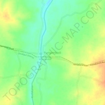
Name: Pungambadi topographic map, elevation, terrain.

Location: Pungambadi, Aravakurichi, Karur District, Tamil Nadu, India (10.74428 77.94932 10.78428 77.98932)

Average elevation: 169 m

Minimum elevation: 150 m

Maximum elevation: 190 m

Gear up for your next adventure:

📷Outdoor Action Camera - Capture high-elevation views and rugged adventures
🧦Thermal Socks - Warm socks for winter hiking or camping
🧥Softshell Hiking Jacket - The perfect balance of wind protection and breathability
🦯Trekking Poles - Reduced impact on joints for steep topographic climbs
🥾Trail Running Boots - Durable shoes designed for trail running

As an Amazon Associate, this site earns from qualifying purchases at no extra cost to you.