
Edgerton topographic map
Interactive map
Click on the map to display elevation.
About this map
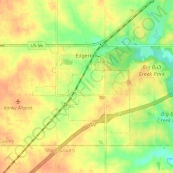
Name: Edgerton topographic map, elevation, terrain.
Location: Edgerton, Johnson County, Kansas, United States (38.74216 -95.05638 38.76921 -94.99189)
Average elevation: 308 m
Minimum elevation: 285 m
Maximum elevation: 322 m