Geolocate

Segezia topographic map

Click on the map to display elevation.

About this map

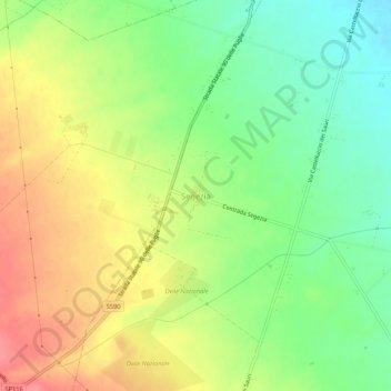
Name: Segezia topographic map, elevation, terrain.

Location: Segezia, Foggia, Apulia, Italy (41.36579 15.47453 41.40579 15.51453)

Average elevation: 142 m

Minimum elevation: 107 m

Maximum elevation: 180 m

Gear up for your next adventure:

💧Collapsible Water Bottle - Space-saving water bottle for outdoor activities
🔦LED Headtorch - Bright and durable light for night activities
🌡️Emergency Mylar Blankets - Compact thermal protection for unexpected nights outdoors
🥾Trail Running Shoes - Lightweight and durable shoes for trail running
🥾Lightweight Hiking Boots - Boots for comfort and mobility on long hikes

As an Amazon Associate, this site earns from qualifying purchases at no extra cost to you.