
Mill en Sint Hubert topographic map
Interactive map
Click on the map to display elevation.
About this map
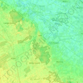
Name: Mill en Sint Hubert topographic map, elevation, terrain.
Location: Mill en Sint Hubert, Nordbrabant, Niederlande (51.63267 5.69996 51.72642 5.84281)
Average elevation: 15 m
Minimum elevation: 7 m
Maximum elevation: 26 m