Geolocate

Mildenhall topographic map

Click on the map to display elevation.

About this map

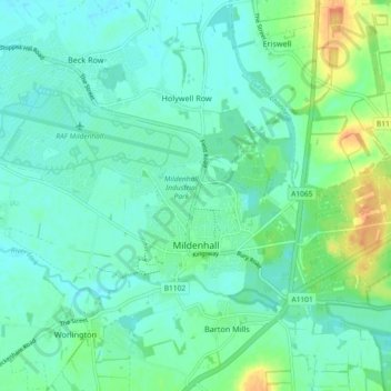
Name: Mildenhall topographic map, elevation, terrain.

Location: Mildenhall, West Suffolk, Suffolk, England, United Kingdom (52.33670 0.47786 52.36867 0.56967)

Average elevation: 12 m

Minimum elevation: 2 m

Maximum elevation: 39 m

Gear up for your next adventure:

🧤Rechargeable Heated Gloves - Extreme warmth for Canadian winter expeditions
🛏️Sleeping Bag - Warm and compact sleeping bags for outdoor camping
🛰️Satellite Messenger - Emergency communication for areas with no cell service
🍽️Titanium Camping Spork - Ultralight and indestructible eating utensil
🥾Approach Shoes - Shoes designed for climbing approaches and rugged trails

As an Amazon Associate, this site earns from qualifying purchases at no extra cost to you.