Geolocate

Patalsu Peak topographic map

Click on the map to display elevation.

About this map
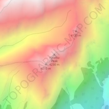
Name: Patalsu Peak topographic map, elevation, terrain.

Location: Patalsu Peak, Manali, Kullu, Himachal Pradesh, India (32.35392 77.19084 32.35402 77.19094)

Average elevation: 3,752 m

Minimum elevation: 2,883 m

Maximum elevation: 4,378 m

Gear up for your next adventure:

🛌Insulated Sleeping Pad - Critical thermal barrier between you and the cold ground
🛌Down Sleeping Bag - Superior warmth-to-weight ratio for cold nights
🧭Orienteering Kit - Tools for map reading and navigation in the wild
🌬️Windproof Camp Stove - Efficient cooking even on exposed mountain peaks
🧭GPS Tracker - Track your location in remote areas safely

As an Amazon Associate, this site earns from qualifying purchases at no extra cost to you.