Geolocate

Jackson topographic map

Click on the map to display elevation.

About this map

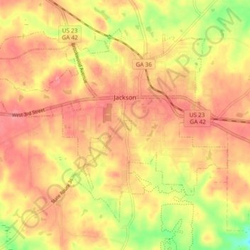
Name: Jackson topographic map, elevation, terrain.

Location: Jackson, Butts County, Georgia, 30233, United States (33.26351 -84.00989 33.31149 -83.93558)

Average elevation: 203 m

Minimum elevation: 151 m

Maximum elevation: 229 m

Gear up for your next adventure:

🧥Waterproof Hiking Jacket - Protect yourself from rain and wind while hiking
🦌Outdoor Trail Camera - Monitor wildlife activity near your favorite spots
🥾Waterproof Hiking Boots - Essential footwear for rugged terrain and wet Canadian trails
🧴Sunscreen SPF - Broad-spectrum sunscreen for outdoor activities
🧥Packable Rain Jacket - Breathable waterproof layer for unpredictable weather

As an Amazon Associate, this site earns from qualifying purchases at no extra cost to you.