
Hibacharo topographic map
Click on the map to display elevation.
About this map
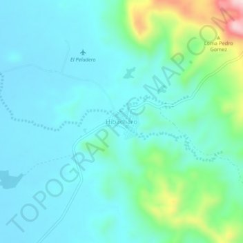
Name: Hibacharo topographic map, elevation, terrain.
Location: Hibacharo, Piojó, Atlántico, Colombia (10.69548 -75.15556 10.73548 -75.11556)
Average elevation: 95 m
Minimum elevation: 33 m
Maximum elevation: 361 m
Other topographic maps
Click on a map to view its topography, its elevation and its terrain.
Reserva Natural de la Sociedad Civil Los Charcones
Average elevation: 218 m