
Tarun topographic map
Interactive map
Click on the map to display elevation.
About this map
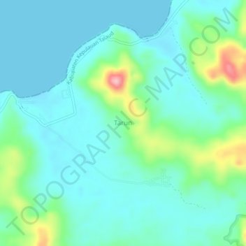
Name: Tarun topographic map, elevation, terrain.
Location: Tarun, Kabupaten Kepulauan Talaud, Sulawesi du Nord, Indonésie (4.05013 126.68678 4.09013 126.72678)
Average elevation: 34 m
Minimum elevation: 0 m
Maximum elevation: 161 m