
Simpang Raya topographic map
Interactive map
Click on the map to display elevation.
About this map
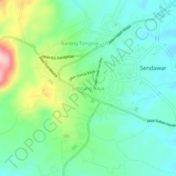
Name: Simpang Raya topographic map, elevation, terrain.
Location: Simpang Raya, East Kalimantan, 75575, Indonesia (-0.26091 115.66641 -0.22091 115.70641)
Average elevation: 193 m
Minimum elevation: 130 m
Maximum elevation: 354 m