Geolocate

Anselmo topographic map

Click on the map to display elevation.

About this map

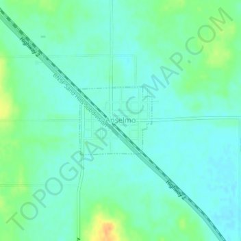
Name: Anselmo topographic map, elevation, terrain.

Location: Anselmo, Custer County, Nebraska, United States (41.61471 -99.86966 41.62233 -99.85879)

Average elevation: 798 m

Minimum elevation: 789 m

Maximum elevation: 821 m

Gear up for your next adventure:

🧣Merino Neck Gaiter - Protects against wind, sun, and cold at high altitudes
💡Compact LED Flashlight - Powerful and portable flashlight for outdoor use
💧Hydration Pack - Hands-free hydration system for long hikes
🕶️Polarized Sunglasses - Protect your eyes with durable polarized lenses
🔦LED Headtorch - Bright and durable light for night activities

As an Amazon Associate, this site earns from qualifying purchases at no extra cost to you.