Geolocate

Bürstadt topographic map

Click on the map to display elevation.

About this map

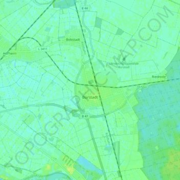
Name: Bürstadt topographic map, elevation, terrain.

Location: Bürstadt, Kreis Bergstraße, Hesse, 68642, Germany (49.61334 8.41863 49.67505 8.52205)

Average elevation: 91 m

Minimum elevation: 87 m

Maximum elevation: 99 m

Gear up for your next adventure:

💧Collapsible Water Bottle - Space-saving water bottle for outdoor activities
🥾Hiking Boots - Sturdy boots providing ankle support and traction on rugged trails
💧Hydration Pack - Hands-free hydration system for long hikes
Backpacking Tent - Lightweight tent for long-distance hiking trips
🧰Survival Kit - Essential gear for emergencies in the wilderness

As an Amazon Associate, this site earns from qualifying purchases at no extra cost to you.