
大埤鄉 topographic map
Interactive map
Click on the map to display elevation.
About this map
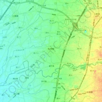
Name: 大埤鄉 topographic map, elevation, terrain.
Location: 大埤鄉, Landkreis Yunlin, Provinz Taiwan, 631, Taiwan (23.60748 120.36650 23.67955 120.47448)
Average elevation: 25 m
Minimum elevation: 12 m
Maximum elevation: 48 m