
Thank you for supporting this site ❤️
Make a donation
Make a donation
Gear up for your next adventure:
As an Amazon Associate, this site earns from qualifying purchases at no extra cost to you.
Lefebvre topographic map
Click on the map to display elevation.
Thank you for supporting this site ❤️
Make a donation
Make a donation
Gear up for your next adventure:
As an Amazon Associate, this site earns from qualifying purchases at no extra cost to you.
About this map
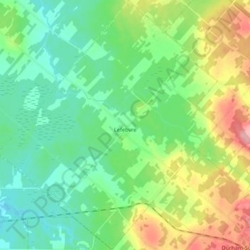
Name: Lefebvre topographic map, elevation, terrain.
Location: Lefebvre, Drummond, Centre-du-Québec, Québec, Canada (45.65875 -72.49015 45.76697 -72.35376)
Average elevation: 136 m
Minimum elevation: 102 m
Maximum elevation: 212 m
Thank you for supporting this site ❤️
Make a donation
Make a donation
Gear up for your next adventure:
As an Amazon Associate, this site earns from qualifying purchases at no extra cost to you.