
Baclain topographic map
Interactive map
Click on the map to display elevation.
About this map
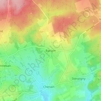
Name: Baclain topographic map, elevation, terrain.
Location: Baclain, Gouvy, Bastenaken, Luxemburg, Wallonië, 6673, België (50.17498 5.84583 50.21498 5.88583)
Average elevation: 469 m
Minimum elevation: 396 m
Maximum elevation: 571 m