
Okahao topographic map
Interactive map
Click on the map to display elevation.
About this map
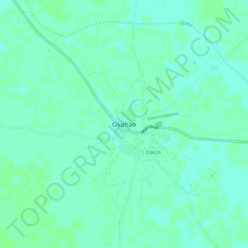
Name: Okahao topographic map, elevation, terrain.
Location: Okahao, Omusati, Namibie (-17.92374 15.02310 -17.84374 15.10310)
Average elevation: 1,102 m
Minimum elevation: 1,099 m
Maximum elevation: 1,105 m