Geolocate

Twin Buttes topographic map

Click on the map to display elevation.

About this map

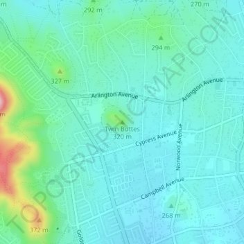
Name: Twin Buttes topographic map, elevation, terrain.

Location: Twin Buttes, Riverside, Riverside County, California, 92505, United States (33.94191 -117.49454 33.94201 -117.49444)

Average elevation: 264 m

Minimum elevation: 224 m

Maximum elevation: 436 m

Other topographic maps

Click on a map to view its topography, its elevation and its terrain.

Gear up for your next adventure:

🥾Hiking Shorts - Breathable shorts suitable for summer hikes
🔦LED Headtorch - Bright and durable light for night activities
🌬️Windproof Camp Stove - Efficient cooking even on exposed mountain peaks
🧦Thermal Socks - Warm socks for winter hiking or camping
🦶Anti-Blister Balm - Prevents friction and hotspots during long ascents

As an Amazon Associate, this site earns from qualifying purchases at no extra cost to you.