
Chaurangikhal topographic map
Click on the map to display elevation.
About this map
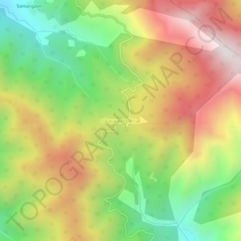
Name: Chaurangikhal topographic map, elevation, terrain.
Location: Chaurangikhal, Dunda, Uttarkashi district, Uttarakhand, India (30.62499 78.46770 30.66499 78.50770)
Average elevation: 2,268 m
Minimum elevation: 1,707 m
Maximum elevation: 2,873 m