Geolocate

Bātto topographic map

Click on the map to display elevation.

About this map

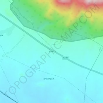
Name: Bātto topographic map, elevation, terrain.

Location: Bātto, Dumri, Giridih, Jharkhand, India (23.91069 86.09259 23.95069 86.13259)

Average elevation: 335 m

Minimum elevation: 240 m

Maximum elevation: 768 m

Gear up for your next adventure:

🛶Kayak Dry Bag - Waterproof storage for kayaking adventures
🛁Quick-Dry Microfiber Towel - Space-saving towel that dries rapidly on the move
🧥Ultralight Puffy Jacket - Maximum warmth that packs down to the size of an orange
🥾Durable Hiking Shoes - Long-lasting shoes for frequent hiking
💧Collapsible Water Bottle - Space-saving water bottle for outdoor activities

As an Amazon Associate, this site earns from qualifying purchases at no extra cost to you.