Geolocate

Bongan River topographic map

Click on the map to display elevation.

About this map

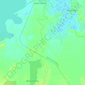
Name: Bongan River topographic map, elevation, terrain.

Location: Bongan River, Jantur, East Kalimantan, Indonesia (-0.57731 116.28450 -0.41467 116.30384)

Average elevation: 6 m

Minimum elevation: -3 m

Maximum elevation: 21 m

Gear up for your next adventure:

Lightweight Camping Tent - Portable shelter optimized for Canadian backcountry camping
🧰Multitool Knife - Compact and versatile tool for outdoor use
Lightweight Backpacking Tent - Compact tent for efficient hiking trips
🥾Lightweight Hiking Boots - Boots for comfort and mobility on long hikes
🧥Waterproof Pants - Keep dry during rainy hiking conditions

As an Amazon Associate, this site earns from qualifying purchases at no extra cost to you.