Geolocate

Pals topographic map

Click on the map to display elevation.

About this map

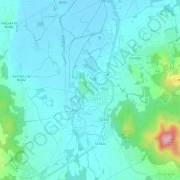
Name: Pals topographic map, elevation, terrain.

Location: Pals, Bajo Ampurdán, Gerona, Cataluña, 17256, España (41.95099 3.12604 41.99099 3.16604)

Average elevation: 34 m

Minimum elevation: -1 m

Maximum elevation: 212 m

Gear up for your next adventure:

🥾Mountaineering Boots - Supportive boots for climbing and high-altitude hiking
🥾All-Terrain Hiking Boots - Versatile boots for varied hiking conditions
🧤Rechargeable Heated Gloves - Extreme warmth for Canadian winter expeditions
🧭Orienteering Kit - Tools for map reading and navigation in the wild
👟Sport Hiking Sandals - Breathable footwear for water crossings and camp rest

As an Amazon Associate, this site earns from qualifying purchases at no extra cost to you.