Geolocate

Palavaram topographic map

Click on the map to display elevation.

About this map

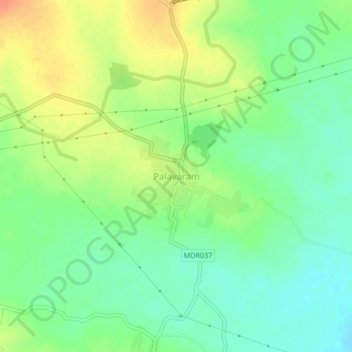
Name: Palavaram topographic map, elevation, terrain.

Location: Palavaram, Chatrai, Eluru district, Andhra Pradesh, India (16.96263 80.89324 17.00263 80.93324)

Average elevation: 94 m

Minimum elevation: 75 m

Maximum elevation: 120 m

Gear up for your next adventure:

💧Hydration Bladder - Hands-free hydration solution for long treks
🧥Ultralight Puffy Jacket - Maximum warmth that packs down to the size of an orange
🥾All-Terrain Hiking Boots - Versatile boots for varied hiking conditions
🎒Backpack Rain Cover - External shield to keep your entire pack dry
🧭Orienteering Kit - Tools for map reading and navigation in the wild

As an Amazon Associate, this site earns from qualifying purchases at no extra cost to you.