Geolocate

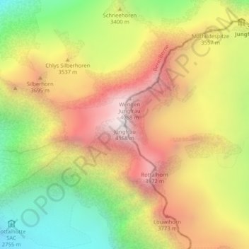
Jungfrau topographic map

Click on the map to display elevation.

Jungfrau

The difference of altitude between the deep valley of Lauterbrunnen (800 m or 2,600 ft) and the summit is particularly visible from the area of Mürren. From the valley floor, west of the massif, the altitude gain is more than 3 km (1.9 mi) for a horizontal distance of 4 km (2.5 mi).

Wikipedia (CC-BY-SA 3.0)

About this map

Name: Jungfrau topographic map, elevation, terrain.

Location: Jungfrau, Lauterbrunnen, Interlaken-Oberhasli administrative district, Oberland administrative region, Bern, 3801, Switzerland (46.53672 7.96254 46.53682 7.96264)

Average elevation: 3,401 m

Minimum elevation: 2,638 m

Maximum elevation: 4,128 m

Gear up for your next adventure:

🥾Waterproof Hiking Shoes - Durable shoes for wet and rugged trails
🧴Waterproofing Spray - Restore the DWR coating on jackets and tents
🥾All-Terrain Hiking Boots - Versatile boots for varied hiking conditions
🚲Handlebar Phone Mount - View topographic-map.com live while cycling
🧢Hiking Hat - Sun-protective and breathable hats for long treks

As an Amazon Associate, this site earns from qualifying purchases at no extra cost to you.