Geolocate

Cascina del Conte topographic map

Click on the map to display elevation.

About this map

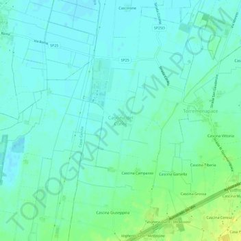
Name: Cascina del Conte topographic map, elevation, terrain.

Location: Cascina del Conte, Voghera, Pavia, Lombardy, 27058, Italy (45.00404 8.95765 45.04404 8.99765)

Average elevation: 76 m

Minimum elevation: 69 m

Maximum elevation: 91 m

Gear up for your next adventure:

🔭Compact Binoculars - Lightweight optics for scouting trails and wildlife
🛌Down Sleeping Bag - Superior warmth-to-weight ratio for cold nights
🥾Light Trekking Boots - Supportive boots for multi-day treks
🧦Outdoor Socks - Durable socks designed for hiking and outdoor sports
🥾Waterproof Hiking Shoes - Durable shoes for wet and rugged trails

As an Amazon Associate, this site earns from qualifying purchases at no extra cost to you.