Geolocate

Town Creek topographic map

Click on the map to display elevation.

About this map

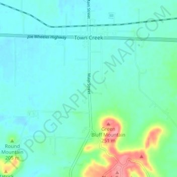
Name: Town Creek topographic map, elevation, terrain.

Location: Town Creek, Lawrence County, Alabama, United States (34.64066 -87.42282 34.69201 -87.38893)

Average elevation: 184 m

Minimum elevation: 166 m

Maximum elevation: 259 m

Gear up for your next adventure:

🧥Softshell Hiking Jacket - The perfect balance of wind protection and breathability
🥾Hiking Shoes - Durable and comfortable shoes for trail hiking
🛰️Satellite Messenger - Emergency communication for areas with no cell service
🗺️Topographic Maps - Detailed maps to explore trails, mountains, and wilderness areas
🔭Compact Monocular - One-handed bird watching and trail spotting

As an Amazon Associate, this site earns from qualifying purchases at no extra cost to you.