
Hasselt topographic map
Interactive map
Click on the map to display elevation.
About this map
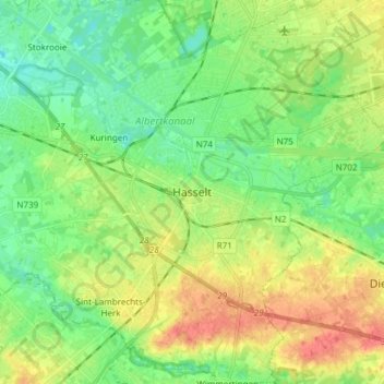
Name: Hasselt topographic map, elevation, terrain.
Location: Hasselt, Limbourg, Flandre, Belgique (50.88304 5.27968 50.97784 5.41494)
Average elevation: 39 m
Minimum elevation: 20 m
Maximum elevation: 68 m
Other topographic maps
Click on a map to view its topography, its elevation and its terrain.