Geolocate

Kamorta topographic map

Click on the map to display elevation.

About this map

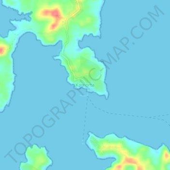
Name: Kamorta topographic map, elevation, terrain.

Location: Kamorta, Nancowry, Nicobar, Andaman and Nicobar Islands, India (8.01846 93.52407 8.05846 93.56407)

Average elevation: 7 m

Minimum elevation: -2 m

Maximum elevation: 66 m

Other topographic maps

Click on a map to view its topography, its elevation and its terrain.

Gear up for your next adventure:

🧴Outdoor Sunscreen - High SPF protection for high-altitude UV exposure
🔭Outdoor Binoculars - Lightweight binoculars for birdwatching and hiking
🥾Trekking Poles - Adjustable trekking poles to reduce knee stress and improve stability
🛁Quick-Dry Microfiber Towel - Space-saving towel that dries rapidly on the move
🏃Hydration Running Vest - Carry water and maps close to your body for speed

As an Amazon Associate, this site earns from qualifying purchases at no extra cost to you.