
Bermonville topographic map
Interactive map
Click on the map to display elevation.
About this map
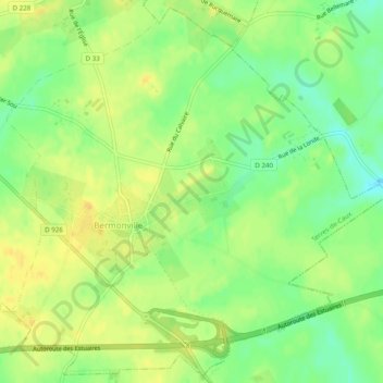
Name: Bermonville topographic map, elevation, terrain.
Average elevation: 135 m
Minimum elevation: 119 m
Maximum elevation: 147 m
Other topographic maps
Click on a map to view its topography, its elevation and its terrain.
Auzouville-Auberbosc
France > Normandie > Terres-de-Caux > Auzouville-Auberbosc
Auzouville-Auberbosc, Terres-de-Caux, Le Havre, Seine-Maritime, Normandie, France métropolitaine, 76640, France
Average elevation: 137 m