
Cristosende topographic map
Interactive map
Click on the map to display elevation.
About this map
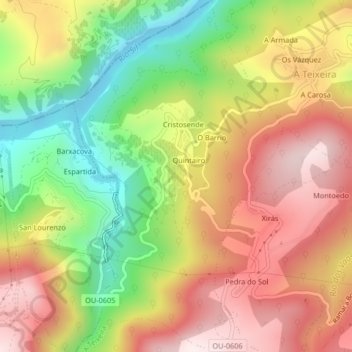
Name: Cristosende topographic map, elevation, terrain.
Average elevation: 514 m
Minimum elevation: 202 m
Maximum elevation: 799 m
Other topographic maps
Click on a map to view its topography, its elevation and its terrain.
Xirás
España > Galicia > Tierra de Caldelas > A Teixeira
Xirás, Montoedo, A Teixeira, Tierra de Caldelas, Orense, Galicia, 32765, España
Average elevation: 561 m