
Whitehouse topographic map
Interactive map
Click on the map to display elevation.
About this map
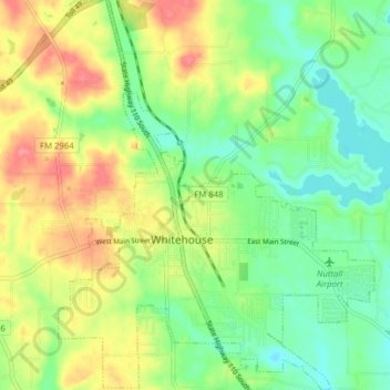
Name: Whitehouse topographic map, elevation, terrain.
Location: Whitehouse, Smith County, Texas, 75791, Estados Unidos (32.20129 -95.25077 32.26751 -95.18729)
Average elevation: 142 m
Minimum elevation: 110 m
Maximum elevation: 185 m