
Olasa topographic map
Interactive map
Click on the map to display elevation.
About this map
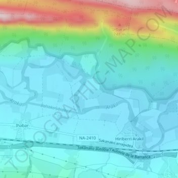
Name: Olasa topographic map, elevation, terrain.
Location: Olasa, Arakil, Navarra - Nafarroa, Spanje (42.91399 -1.91345 42.93399 -1.89345)
Average elevation: 514 m
Minimum elevation: 439 m
Maximum elevation: 798 m