
53 RB topographic map
Click on the map to display elevation.
About this map
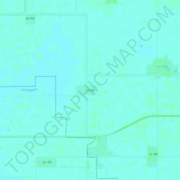
Name: 53 RB topographic map, elevation, terrain.
Location: 53 RB, Padampur Tehsil, Sri Ganganagar, Rajasthan, India (29.58391 73.58913 29.62391 73.62913)
Average elevation: 167 m
Minimum elevation: 165 m
Maximum elevation: 170 m
Other topographic maps
Click on a map to view its topography, its elevation and its terrain.
Padampur
India > Rajasthan > Padampur Tehsil
Located in southwest of the Ganganagar district, the city has an average elevation of 165 metres (541 ft)
Average elevation: 169 m