
La Tinta topographic map
Interactive map
Click on the map to display elevation.
About this map
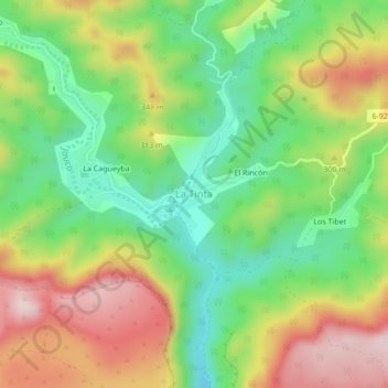
Name: La Tinta topographic map, elevation, terrain.
Location: La Tinta, Maisí, Guantánamo, Cuba (20.10498 -74.37095 20.14498 -74.33095)
Average elevation: 243 m
Minimum elevation: 63 m
Maximum elevation: 596 m