
Rivière-au-Tonnerre topographic map
Interactive map
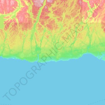
Click on the map to display elevation.
About this map
Name: Rivière-au-Tonnerre topographic map, elevation, terrain.
Location: Rivière-au-Tonnerre, Minganie, Côte-Nord, Québec, Canada (50.25954 -65.54389 50.38843 -64.57405)
Average elevation: 117 m
Minimum elevation: 0 m
Maximum elevation: 609 m
Other topographic maps
Click on a map to view its topography, its elevation and its terrain.
Lac Touzel
Canada > Québec > Rivière-au-Tonnerre > Rivière-au-Tonnerre
Lac Touzel, Rivière-au-Tonnerre, Minganie, Côte-Nord, Québec, Canada
Average elevation: 74 m