
Балта topographic map
Interactive map
Click on the map to display elevation.
About this map
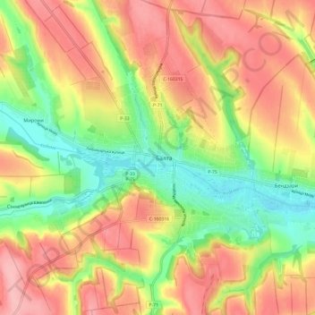
Name: Балта topographic map, elevation, terrain.
Location: Балта, Oblast d'Odessa, 66100-66105, Ukraine (47.89644 29.58017 47.97644 29.66017)
Average elevation: 180 m
Minimum elevation: 112 m
Maximum elevation: 242 m