
Akçaalan topographic map
Interactive map
Click on the map to display elevation.
About this map
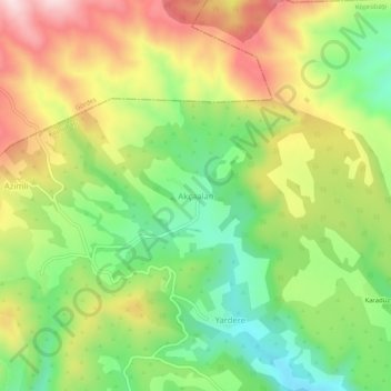
Name: Akçaalan topographic map, elevation, terrain.
Location: Akçaalan, Köprübaşı, Manisa, Ägäisregion, Türkei (38.81161 28.38669 38.85161 28.42669)
Average elevation: 642 m
Minimum elevation: 461 m
Maximum elevation: 864 m