Geolocate

Muttar topographic map

Click on the map to display elevation.

About this map

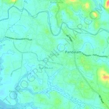
Name: Muttar topographic map, elevation, terrain.

Location: Muttar, Adoor, Pathanamthitta District, Kerala, 689505, India (9.20415 76.65115 9.24415 76.69115)

Average elevation: 14 m

Minimum elevation: 4 m

Maximum elevation: 50 m

Gear up for your next adventure:

🧰Multitool Knife - Compact and versatile tool for outdoor use
🥾Waterproof Trail Shoes - Shoes designed to handle wet terrain
🍽️Titanium Camping Spork - Ultralight and indestructible eating utensil
🧦Hiking Socks - Moisture-wicking and comfortable socks for long hikes
🕶️Polarized Sunglasses - Protect your eyes with durable polarized lenses

As an Amazon Associate, this site earns from qualifying purchases at no extra cost to you.