
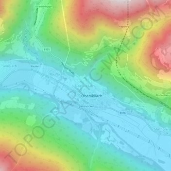
Dürnvellach topographic map
Interactive map
Click on the map to display elevation.
About this map
Name: Dürnvellach topographic map, elevation, terrain.
Average elevation: 1,010 m
Minimum elevation: 656 m
Maximum elevation: 1,815 m
Other topographic maps
Click on a map to view its topography, its elevation and its terrain.
Leutschach
Österreich > Kärnten > Bezirk Spittal an der Drau > Obervellach > Stallhofen
Leutschach, Stallhofen, Obervellach, Bezirk Spittal an der Drau, Kärnten, 9816, Österreich
Average elevation: 1,024 m