
Río Yuruá topographic map
Interactive map
Click on the map to display elevation.
About this map
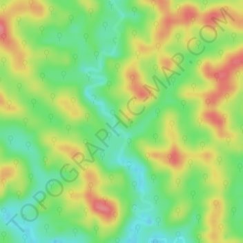
Name: Río Yuruá topographic map, elevation, terrain.
Location: Río Yuruá, Yurúa, Provincia de Atalaya, Ucayali, Perú (-10.13749 -72.20117 -10.10736 -72.19286)
Average elevation: 345 m
Minimum elevation: 308 m
Maximum elevation: 387 m