Geolocate

Bangli topographic map

Click on the map to display elevation.

About this map

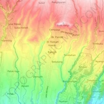
Name: Bangli topographic map, elevation, terrain.

Location: Bangli, Bali, Lesser Sunda Islands, 80613, Indonesia (-8.50031 115.31352 -8.42031 115.39352)

Average elevation: 402 m

Minimum elevation: 191 m

Maximum elevation: 594 m

Gear up for your next adventure:

🥾Trekking Poles - Adjustable trekking poles to reduce knee stress and improve stability
🦌Outdoor Trail Camera - Monitor wildlife activity near your favorite spots
🧥Softshell Hiking Jacket - The perfect balance of wind protection and breathability
🧥Fleece Jacket - Warm and lightweight jacket for layering
🥾Lightweight Hiking Shoes - Comfortable shoes for day hikes

As an Amazon Associate, this site earns from qualifying purchases at no extra cost to you.