Geolocate

Levant topographic map

Click on the map to display elevation.

About this map

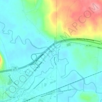
Name: Levant topographic map, elevation, terrain.

Location: Levant, Chautauqua County, New York, 14733, USA (42.11339 -79.20171 42.15339 -79.16171)

Average elevation: 405 m

Minimum elevation: 374 m

Maximum elevation: 504 m

Gear up for your next adventure:

🧦Hiking Liner Socks - Thin base layer to prevent friction and blisters
🧭GPS Handheld Device - Reliable GPS navigation for outdoor adventures
🥾Light Hiking Boots - Lightweight and comfortable boots for day hikes
🥾Waterproof Trail Shoes - Shoes designed to handle wet terrain
🔋Emergency Crank Radio - Weather alerts and power without needing batteries

As an Amazon Associate, this site earns from qualifying purchases at no extra cost to you.