Geolocate

Vevang topographic map

Click on the map to display elevation.

About this map

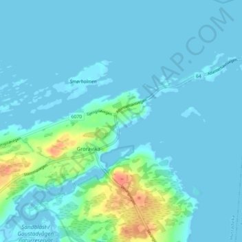
Name: Vevang topographic map, elevation, terrain.

Location: Vevang, Groravika, Hustadvika, Møre og Romsdal, 6494, Norway (62.98490 7.27566 63.02490 7.31566)

Average elevation: 6 m

Minimum elevation: -2 m

Maximum elevation: 42 m

Gear up for your next adventure:

🔥Emergency Fire Starter - Reliable ignition source for all weather conditions
🛰️Satellite Messenger - Emergency communication for areas with no cell service
🏕️Camping Hammock - Integrated protection for sleeping between trees
🦶Hiking Shoe Insoles - Added support for high arches and long days on feet
Camping Essentials - All-in-one gear for a comfortable camping trip

As an Amazon Associate, this site earns from qualifying purchases at no extra cost to you.