
Nil topographic map
Interactive map
Click on the map to display elevation.
About this map
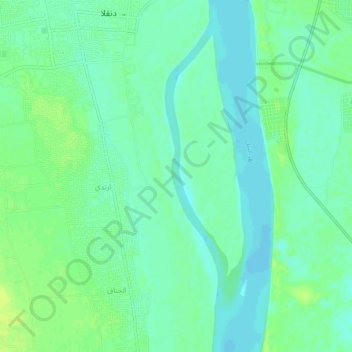
Name: Nil topographic map, elevation, terrain.
Location: Nil, Dongola, Nord, Soudan (19.12542 30.48219 19.17459 30.49170)
Average elevation: 229 m
Minimum elevation: 222 m
Maximum elevation: 236 m