Geolocate

Kurali topographic map

Click on the map to display elevation.

About this map

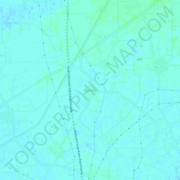
Name: Kurali topographic map, elevation, terrain.

Location: Kurali, Jalandhar II Tahsil, Jalandhar, Punjab, 144623, India (31.25287 75.47874 31.29287 75.51874)

Average elevation: 234 m

Minimum elevation: 232 m

Maximum elevation: 238 m

Gear up for your next adventure:

🧼Biodegradable Camp Soap - Environmentally friendly cleaning for gear and body
🥾Trail Running Boots - Durable shoes designed for trail running
🧰Multitool Knife - Compact and versatile tool for outdoor use
🧤Rechargeable Heated Gloves - Extreme warmth for Canadian winter expeditions
🦶Anti-Blister Balm - Prevents friction and hotspots during long ascents

As an Amazon Associate, this site earns from qualifying purchases at no extra cost to you.