Geolocate

Benta topographic map

Click on the map to display elevation.

About this map

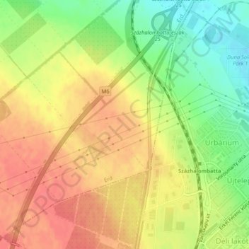
Name: Benta topographic map, elevation, terrain.

Location: Benta, Érd, Érdi járás, Pest, Central Hungary, 2030, Hungary (47.31682 18.87736 47.33682 18.89736)

Average elevation: 132 m

Minimum elevation: 98 m

Maximum elevation: 156 m

Gear up for your next adventure:

🧤Insulated Winter Gloves - Heavy-duty protection for sub-zero Canadian adventures
🥾Hiking Shoes - Durable and comfortable shoes for trail hiking
👟Sport Hiking Sandals - Breathable footwear for water crossings and camp rest
Family Camping Tent - Spacious tent suitable for family camping trips
🥾Approach Boots - Comfortable boots for hiking and climbing approaches

As an Amazon Associate, this site earns from qualifying purchases at no extra cost to you.