
Grove topographic map
Click on the map to display elevation.
About this map
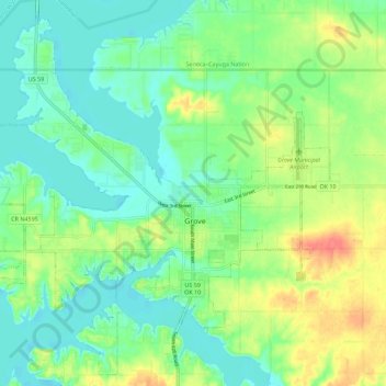
Name: Grove topographic map, elevation, terrain.
Location: Grove, Delaware County, Oklahoma, 07344, United States (36.55383 -94.84160 36.63882 -94.72910)
Average elevation: 244 m
Minimum elevation: 224 m
Maximum elevation: 282 m