Geolocate

Horuru topographic map

Click on the map to display elevation.

About this map
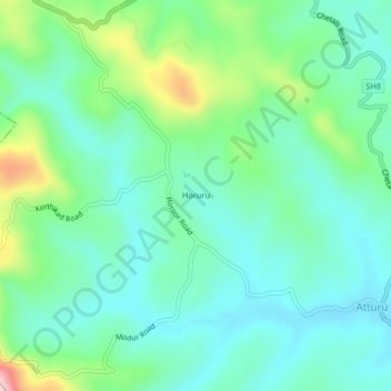
Name: Horuru topographic map, elevation, terrain.

Location: Horuru, Somawarpet taluk, Kodagu, Karnataka, 571237, India (12.39816 75.79447 12.43816 75.83447)

Average elevation: 965 m

Minimum elevation: 893 m

Maximum elevation: 1,179 m

Gear up for your next adventure:

🧰Survival Kit - Essential gear for emergencies in the wilderness
🛰️Satellite Messenger - Emergency communication for areas with no cell service
🥾Lightweight Hiking Shoes - Comfortable shoes for day hikes
🧦Thermal Socks - Warm socks for winter hiking or camping
🎒Hiking Backpack - Lightweight and ergonomic backpacks for day hikes or multi-day treks

As an Amazon Associate, this site earns from qualifying purchases at no extra cost to you.