Geolocate

Chicken Bristle topographic map

Click on the map to display elevation.

About this map

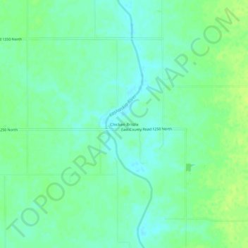
Name: Chicken Bristle topographic map, elevation, terrain.

Location: Chicken Bristle, Douglas County, Illinois, United States (39.81614 -88.38672 39.85614 -88.34672)

Average elevation: 207 m

Minimum elevation: 200 m

Maximum elevation: 214 m

Other topographic maps

Click on a map to view its topography, its elevation and its terrain.

Newman

United States > Illinois > Douglas County

Average elevation: 197 m

Gear up for your next adventure:

🧥Fleece Jacket - Warm and lightweight jacket for layering
Family Camping Tent - Spacious tent suitable for family camping trips
🧶550 Survival Paracord - Versatile utility cord for emergency repairs and rigging
🧢Outdoor Visor - Breathable visor for sunny hikes
🔨Vehicle Emergency Tool - Safety tool for remote road trips to trailheads

As an Amazon Associate, this site earns from qualifying purchases at no extra cost to you.