Geolocate

Lapar topographic map

Click on the map to display elevation.

About this map

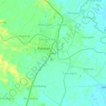
Name: Lapar topographic map, elevation, terrain.

Location: Lapar, Pototan, Iloilo, Western Visayas, 5008, Philippines (10.92035 122.61931 10.96035 122.65931)

Average elevation: 23 m

Minimum elevation: 15 m

Maximum elevation: 35 m

Gear up for your next adventure:

🕯️Camping Lantern - Illuminates your entire campsite with high-efficiency LEDs
🧥Ultralight Puffy Jacket - Maximum warmth that packs down to the size of an orange
🦟Insect Repellent - Keep mosquitoes and black flies away in wooded areas
🔦LED Headlamp - Hands-free lighting for early morning starts or late finishes
🔪Outdoor Multitool - Versatile tool for repairs and food prep in the wild

As an Amazon Associate, this site earns from qualifying purchases at no extra cost to you.