
O Pindo topographic map
Click on the map to display elevation.
About this map
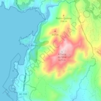
Name: O Pindo topographic map, elevation, terrain.
Location: O Pindo, Carnota, Muros, La Coruña, Galicia, 15296, España (42.85746 -9.14936 42.91535 -9.09256)
Average elevation: 112 m
Minimum elevation: -1 m
Maximum elevation: 617 m
Other topographic maps
Click on a map to view its topography, its elevation and its terrain.